
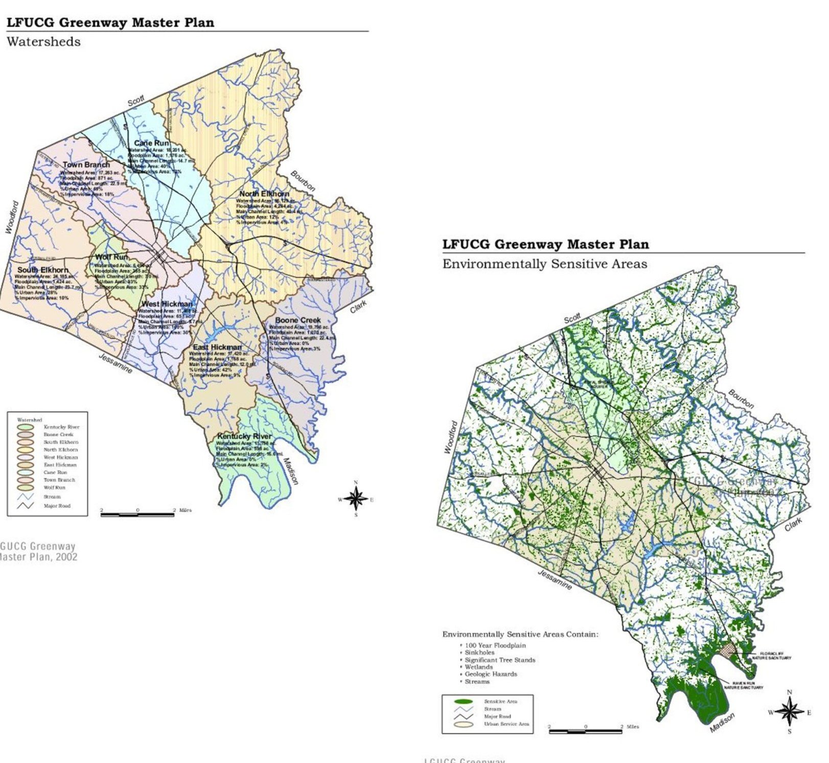
Summary of Existing Plans
Ecological Sensitivity Analysis

Ecology Forum
Survey Results
As part of an effort to engage the community and collect local attitudes, perceptions, and suggestions related to greenways, an online survey was available from April 15 to May 31, 2024.

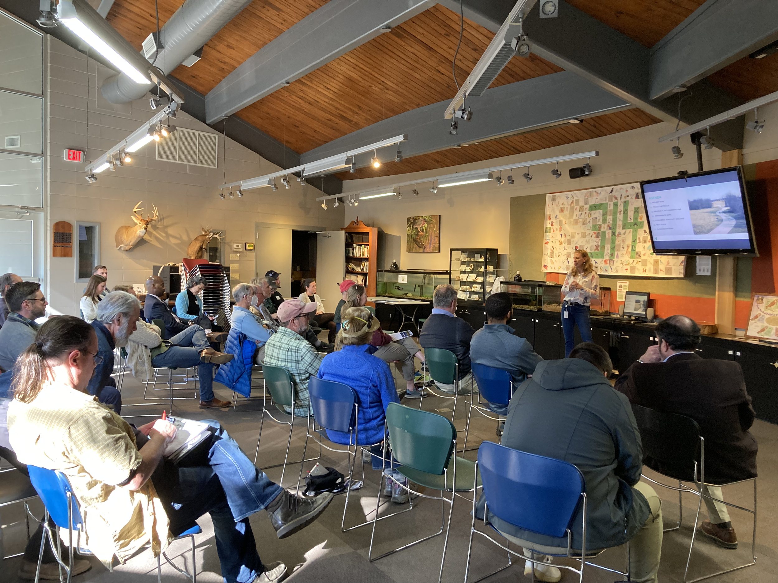
On March 20th at 5pm at McConnell Springs, Lexington City Staff hosted a public forum to discuss Lexington’s parks and natural resources. Discussion from this forum is being used to further the creation of a Greenway Management Plan to grow and improve a network of parks, greenways, and trails across Lexington.

Public Forum
On September 18th at 5:30 pm at The Lexington Senior Center, Lexington City Staff hosted a public forum to discuss the details of a possible Conservation Greenway & City~Wide Trail System and receive input. Here is the link to the Presentation.
Frequently Asked Questions.
-
The City of Lexington and a cross-departmental working group led by Environmental Services and supported by the Greenspace Trust and other partners.
-
The hope is to have the plan adopted by Lexington-Fayette Urban County Council in 1st Quarter, 2025.
-
The first step will be aligning LFUCG ordinances and regulations to support best practices of greenway and open space conservation, including a Maintenance Guide for both public and private stewardship. Future steps would include continued acquisition/conservation efforts towards identified greenways and implementation of the share use trail network.
-
Park: Publicly owned and publicly accessible greenspace, often with programmed/active amenities.
Greenway: Linear corridors of natural areas, including waterways and floodplains.
Trails: Paved and Natural pathways.
Public Open Space: Passive and active areas accessible to all residents and visitors.
Private Open Space: Areas owned/operated by private interests, including homeowner associations (HOA) or neighborhood associations (NHA) .
-
Shared Use Trails (Paths): Paved two-way travel for authorized modes of transportation
Paved Trails: Hard surface trails not constructed to shared use path standards
Natural Trails: Unimproved trails (un-paved) within a Greenspace
Walkways: Paved paths, not part of a larger trail system or along a street
Separated Bikeways w/ Sidewalks
On-Street Bikeways w/ Sidewalks
Shared Streets w/ Sidewalks